MAP · ANALYSE · ORGANISE
GIS and geospatial mapping in Zanzibar
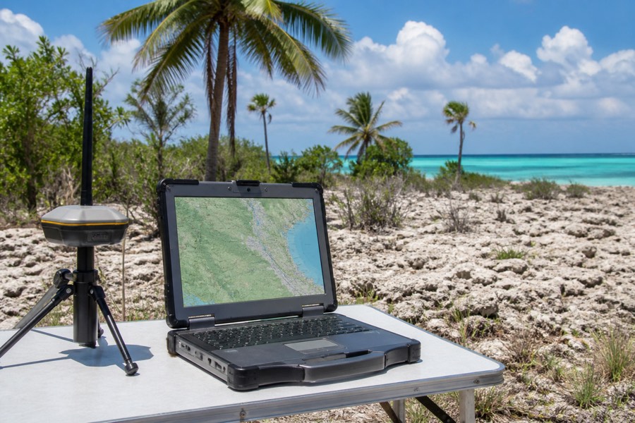
GIS brings property, survey, infrastructure and operational information into clear spatial datasets. A defined data structure makes project maps easier to update and use across teams.
Check availability ↗WHAT IS INCLUDED
Practical support for
real site conditions.
Site, asset and infrastructure maps
Clear analysis and presentation outputs
PLANNING & DELIVERY
A scope built around
your actual site.
Before mobilising for gis and geospatial mapping in zanzibar, we review the location, site access, working space, ground conditions and the result your project needs. This helps identify suitable equipment, supporting resources and a practical sequence of work.
Share your drawings, site photographs or location pin with our team. We can coordinate the required machines, operators and site support for master-planned developments, utilities and asset management, property and infrastructure portfolios, with clear communication from assessment through completion.
BEFORE MOBILISATION
Information that keeps
the work efficient.
PLANNING CHECKS
01List available source data
02Define fields, layers and coordinate system
03Agree map and database outputs
WHAT TO SEND FOR A QUOTE
01Project area
02Available data
03Required maps or analysis
SUITABLE PROJECTS
Where this service
adds value.
Master-planned developments
Planned around Zanzibar access, ground conditions and the required construction programme.
Utilities and asset management
Planned around Zanzibar access, ground conditions and the required construction programme.
Property and infrastructure portfolios
Planned around Zanzibar access, ground conditions and the required construction programme.
QUESTIONS
Before we
start work.
How do I request gis and geospatial mapping in zanzibar?
Send the site location, photos and a short description by WhatsApp. We will review the access, work scope and equipment required before preparing the next step.
Can operators and transport be included?
Yes. Machinery can be coordinated with operators, mobilisation, transport and site support according to the project scope and location.
Do you serve projects across Zanzibar?
Yes. Zanzibaba Siteworks supports projects across Unguja and Pemba, including coastal, urban and rural development sites.
REQUEST A QUOTE
Plan this service
for your Zanzibar site.
Send the site location and expected start so we can assess the next step.
Call +255 716 002 790GIS and geospatial mapping in Zanzibar